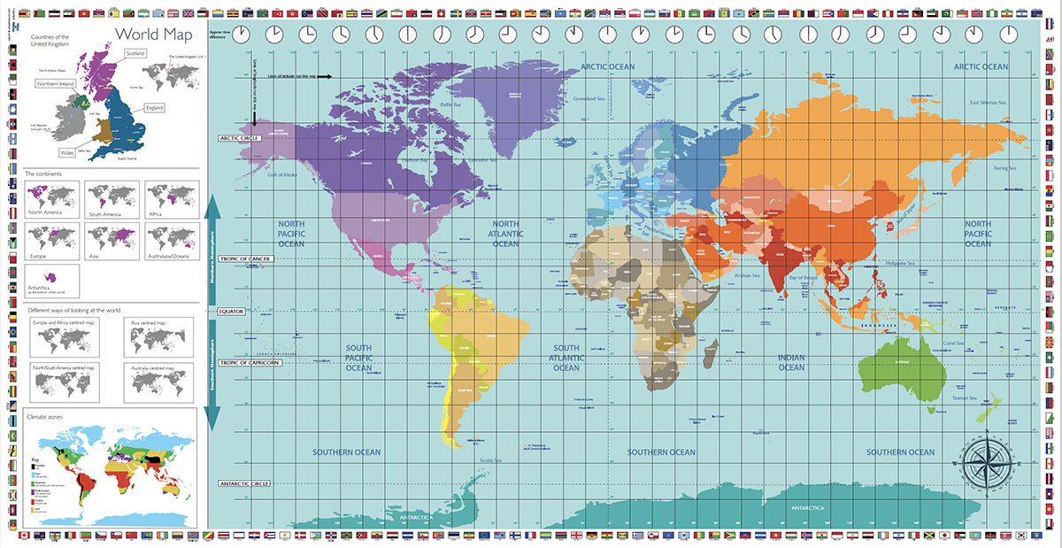
World Map Overview
- Size: 338 × 174 cm £245
- Size 400 x 206 cm £295
- Price includes VAT and UK mainland delivery
- Typical dispatch: 5 working days
- Suitable for: Schools, museums, halls and educational spaces
- Storage: Rolls for compact storage
- Contact:
- [ Enquire ]
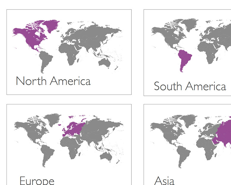
The continents
Linked to Key Stage 1 and 2 geography objectives including naming and locating the world’s seven continents and developing locational knowledge through maps, globes and spatial comparison.
Help learners quickly recognise the world’s major landmasses and understand how they relate to one another spatially. By isolating each continent while keeping the wider world visible, the map encourages comparison, scale awareness, and global perspective.
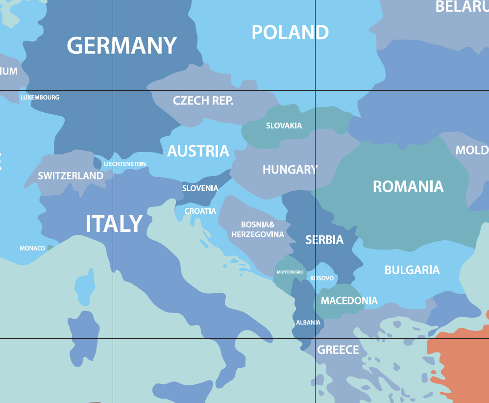
Countries
Supports Key Stage 1 and 2 geography objectives including locating countries, understanding world maps, and developing knowledge of human and physical geography through the study of places and regions.
Uses colour coding and simplified boundaries to help learners identify nations quickly while still understanding their position within the wider world. Visual contrast make the map easy to explore collaboratively from standing height, encouraging discussion, comparison, and geographical curiosity.
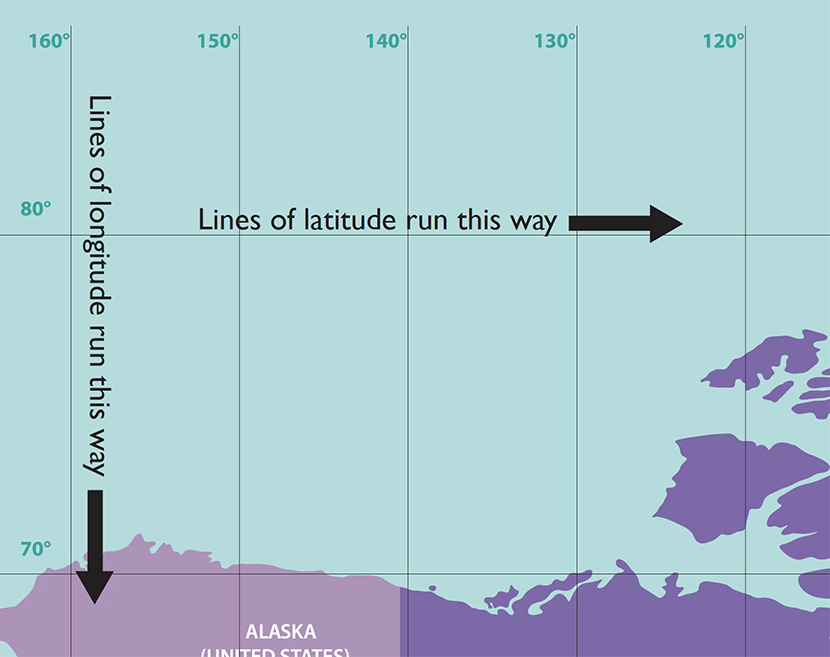
Latitude and longitude lines
Supports Key Stage 2 geography objectives including the use of latitude, longitude, the Equator, hemispheres and the Prime Meridian to describe locations on Earth.
Help learners understand how locations are measured and mapped across the Earth. The large-scale grid makes coordinates, direction, and global positioning east to visualise and teach physically.
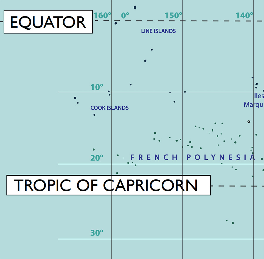
The Equator, Tropics, and hemispheres
Help learners understand how the Earth is divided geographically and climatically. These large-scale reference lines make global patterns, seasons, and planetary orientation easier to see and discuss.
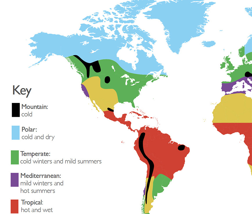
The climate zones
Supports Key Stage 2 geography objectives including understanding climate zones, biomes, vegetation belts, and the relationship between physical geography and human activity.
Help learners explore how temperature and environment vary across the planet. By linking geography to ecosystems, weather, and human settlement, the map encourages broader environmental understanding and discussion.
Simplified time zones
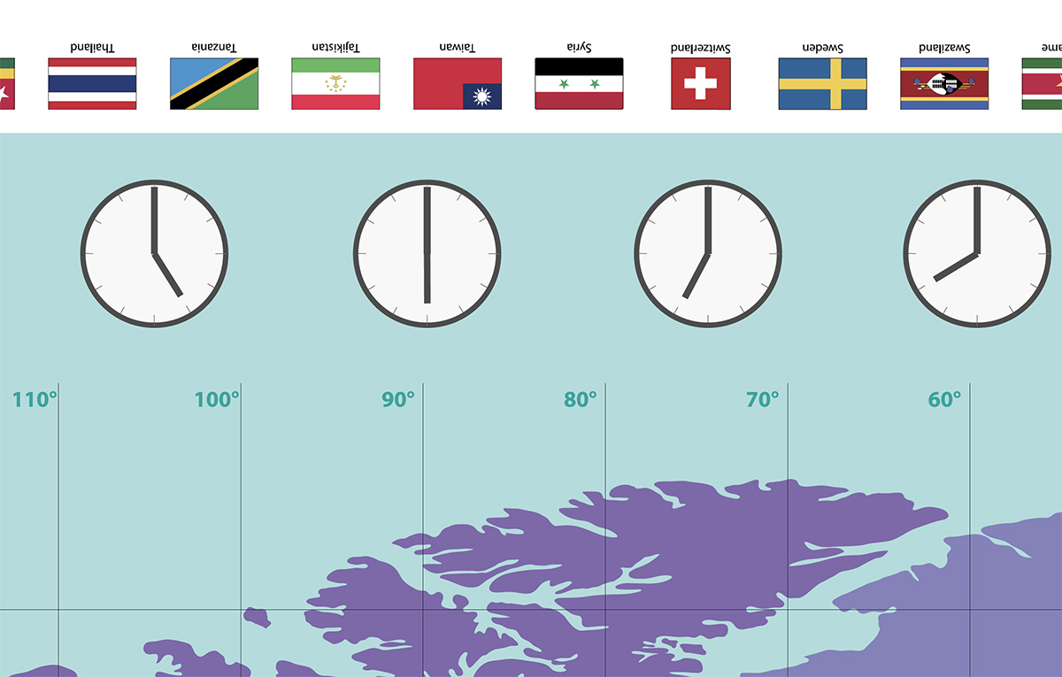
Supports Key Stage 2 geography objectives including understanding the Prime/Greenwich Meridian and time zones, and how position on Earth relates to global time differences.
Help learners understand how time changes across the world and how global regions are connected. Large clocks and clear visual divisions make abstract concepts such as international time differences easy to grasp collaboratively. Straight line simplification opens up discussions of why and how time zones are altered to suit, political or geographical preference.
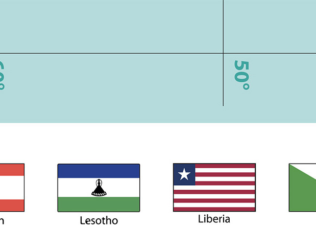
Flags
Introduces learners to national identities and world regions through visual comparison. It supports geography, cultural awareness, and quick-reference activities within the wider context of the map.
The UK
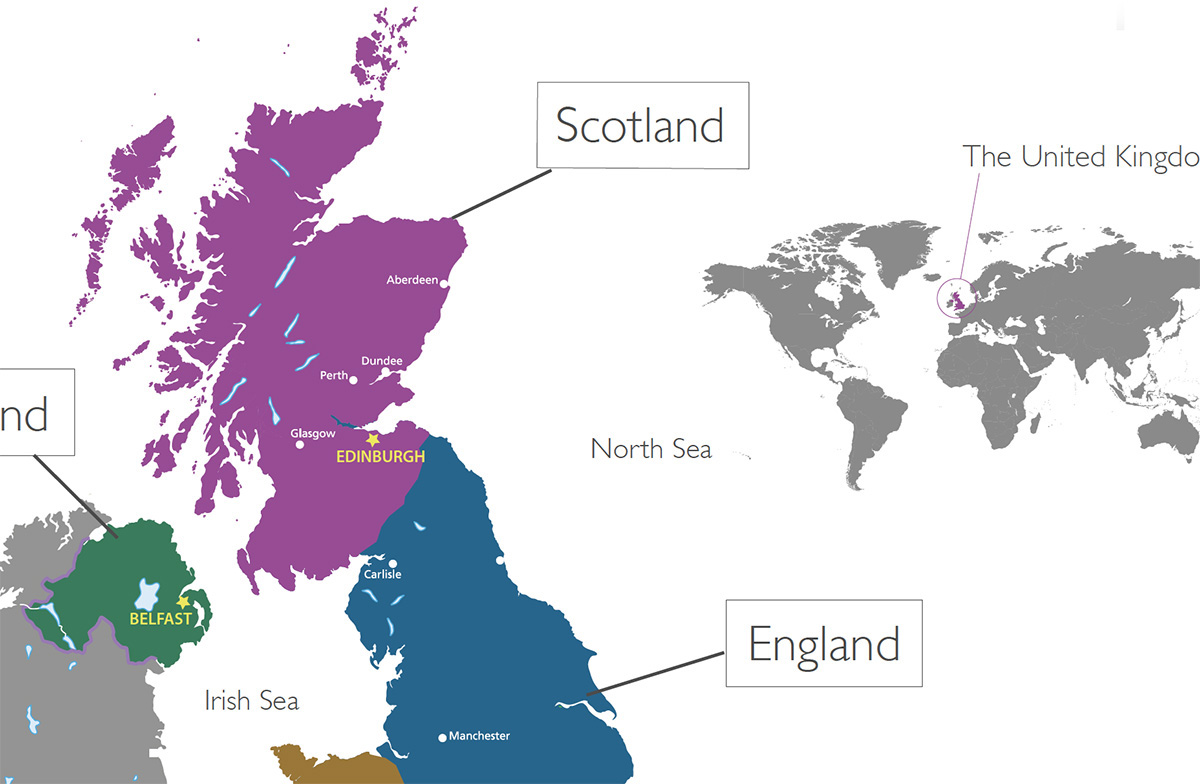
Supports Key Stage 1 and 2 geography objectives including locating the countries and regions of the United Kingdom and understanding their relationship within the wider world.
Inset provides a more detailed regional view within the wider global context of the map. It helps learners connect local geography to the broader structure of the world.
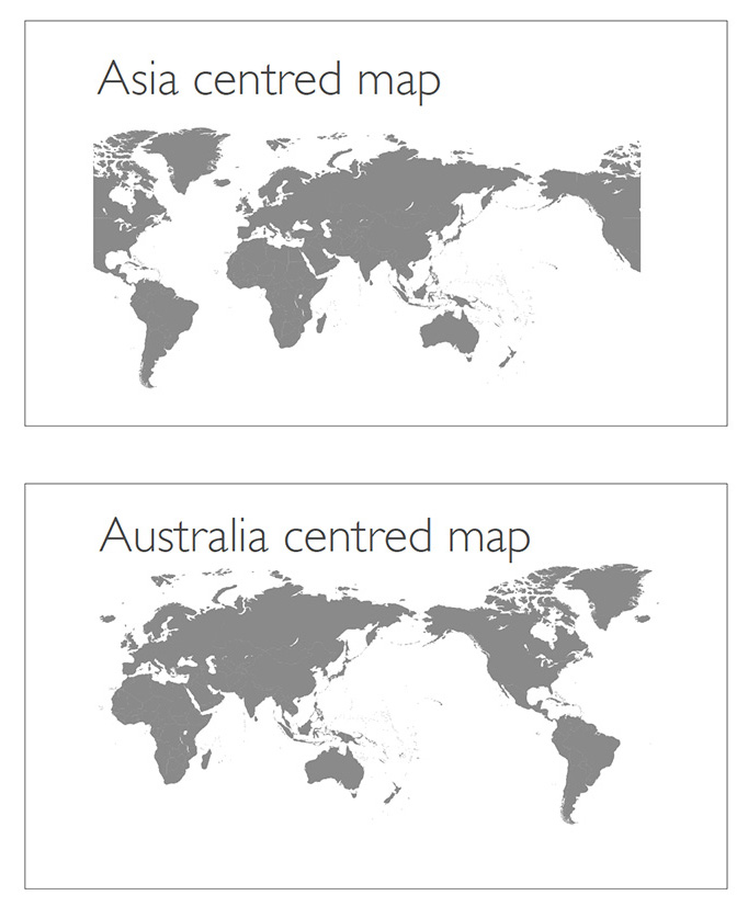
Centred world maps
Show how different map projections and viewpoints can change our perception of the world. They encourage discussion about geography, perspective, culture and the way global information is presented visually.
Oceans and major bodies of water
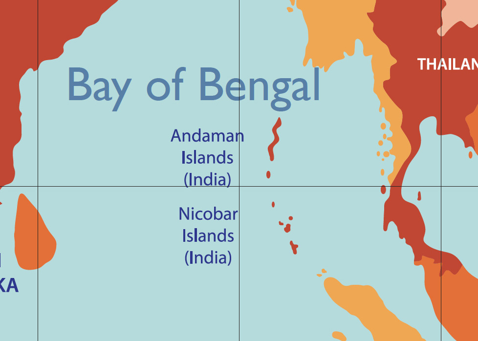
Supports Key Stage 1 and 2 geography objectives including naming and locating the world’s oceans and understanding key aspects of physical geography through the study of water and global systems.
Help learners understand how continents are connected through climate, trade, travel, and ecosystems. They provide important geographical context and help reinforce the world as an interconnected system.
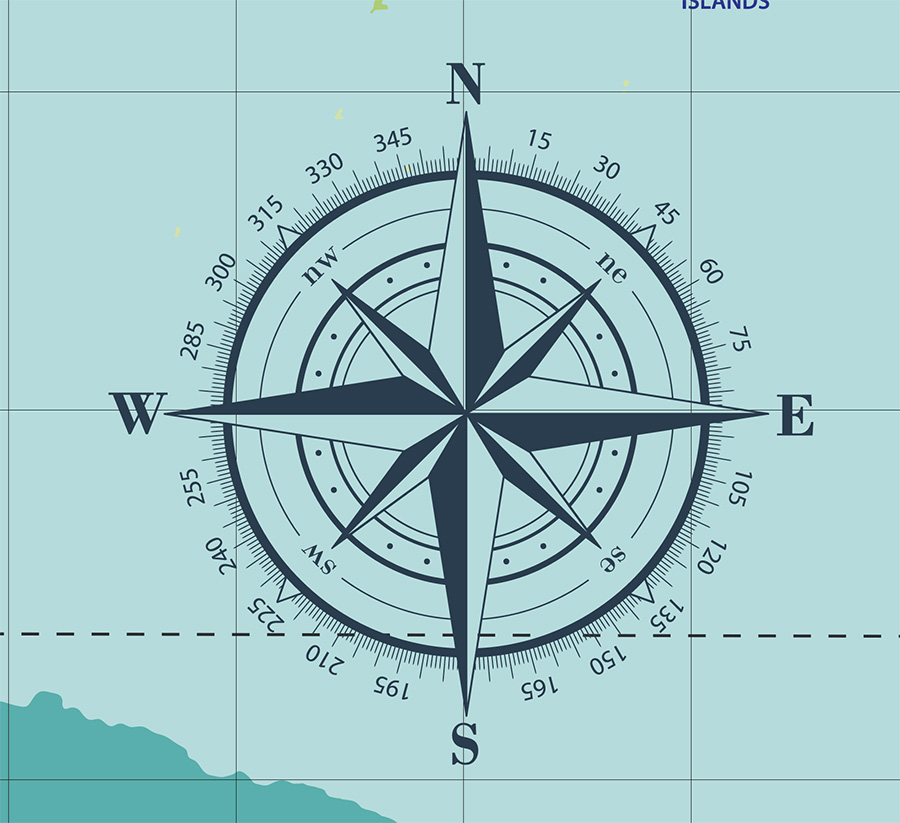
The compass rose
Supports geographical skills objectives including the use of directional language, compass directions and map-reading skills through practical spatial activities.
Introduce basic directional awareness and navigation concepts. It supports activities involving orientation, movement, bearings, and map-reading skills.